SD26e1 The Limey
High St to Headland Rd
Known locally as The Limey
Path Number – SD26e
Distance – 0.2m, 0.33km
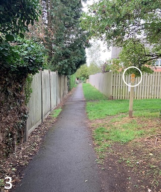
Links to footpaths – SD26 d3 (see photo 3 below)
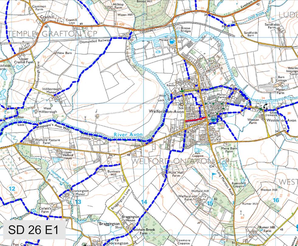
Map Location (in red):
Details:
Runs from the High St (opposite the shop) to Headland Rd
Start Location (What Three Words) scale.flattery.eased
End Location (What Three Words) masterpiece.ranks.third
Marker posts:
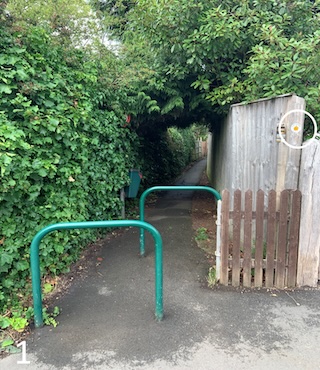
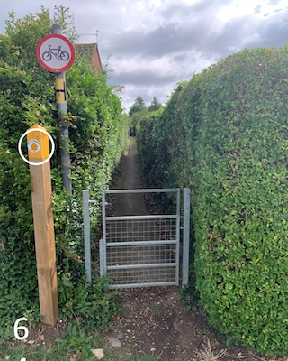
Well signed marker posts at both ends of the path (P1 & P6) and connecting path (P3)
Barriers or obstructions:
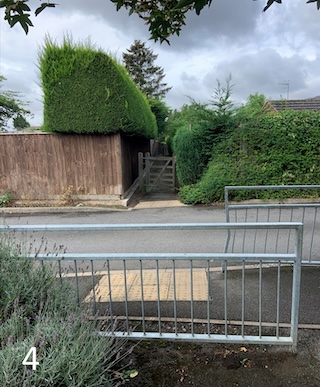
Gates located at various locations and several half barriers (P1, P4 & P6)
Path quality:
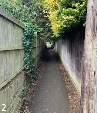
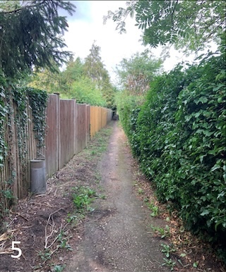
First half of the path is well maintained tarmac, second half is variable stone and tarmac
Some parts get narrow. Majority of the path is well away from all main roads. Crosses a residential road (P4)
Usage:
Well used by walkers children going to school and dog walkers
Dog bins:
Dog bin at the entrance on High St
Repairs:
No critical repairs outstanding